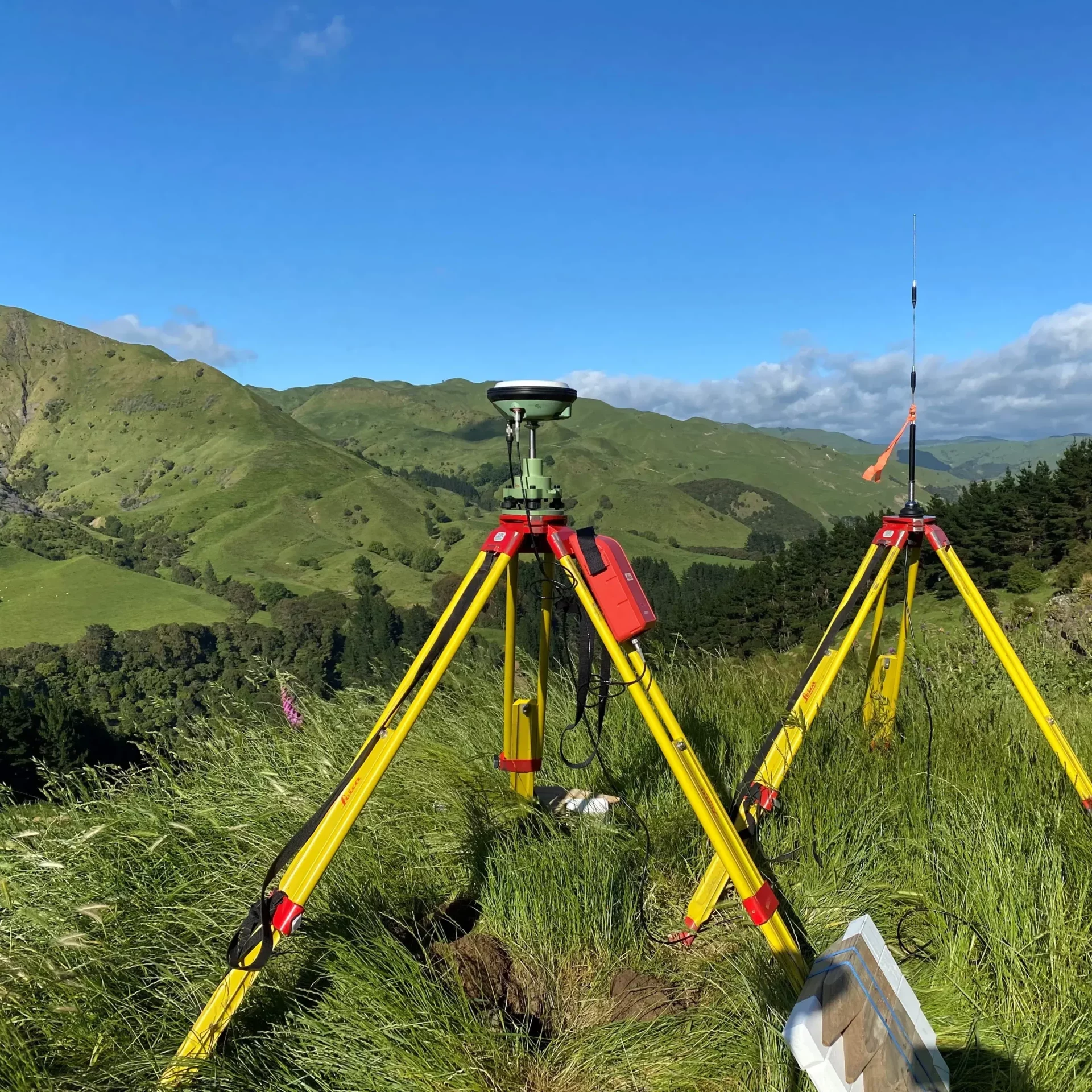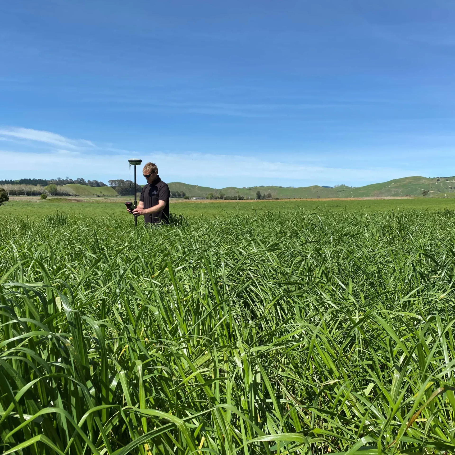
Surveying
Rural, Residential, Commercial, Industrial and Topographical Surveying
- Rural Subdivision
- Residential Subdivision
- Commercial Subdivision
- Industrial Subdivision
- Maori Land Subdivision and Partitions
- Cross Lease Conversion to Freehold Surveys
- Topographical Surveys
- Data Capture
- Site Plans
- Farm Mapping
- Boundary Redefinition Surveys
- Easement and Land Covenant Surveys
- Lease Area Survey
- Unit Title Developments
- Rentable Areas
- Legalisation Surveys
- Setout – Construction, Building and/or Roading
- Volume Control
- Height Planes and Restrictions
- Bench Mark Establishment
- Minimum Floor Level Surveys
- Precise Level Surveys
Planning
The Resource Management Act requires any person wanting to subdivide or develop land to obtain consent for the local territorial authority in accordance with the District Plan. Williamson surveyors is experienced in simplifying this process for you and can guide you along to ensure your project is a success.
- Subdivision & Land Use Consents
- Aerial Photographs
- Resource Management Act
- Development Planning
- Environmental Effect Assessment


Land Development
360 Surveying have experienced staff in land development who can design, supervise and manage your project. We understand the local authority’s requirements and are aware of contractors costs. We use state of the art software such as 12d and autocad. We have the expertise to develop your subdivision from the initial concepts right through to the final survey and issue of title.
- Project Feasibility
- Project Planning
- Project Management
- Subdivision Engineering
- Subdivision Infrastructure
- Road Design and Quantities
- As-built Surveys
